
Let us help you survey and search vast areas of land quickly and efficiently with our helicopters
Aerial Surveying
Survey operations
Helistar Cambodia is the foremost leader in surveying operations within Cambodia, experienced in working together with multiple organizations both national and international on a wide range of projects nothing is out of our potential. From forest protection mineral searches and Temple Lidar scanning we’ve done it all.
Lidar Survey Flights
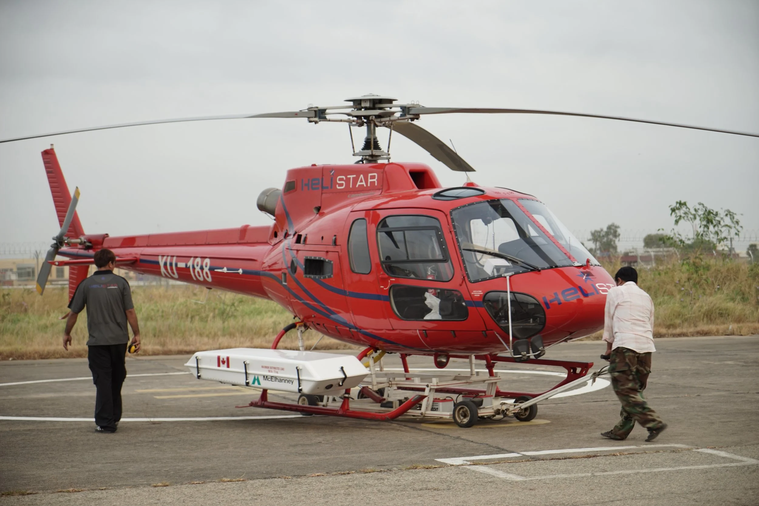
Helistar Cambodia offers high-precision LiDAR and aerial survey flights, providing cutting-edge solutions for mapping, terrain modeling, infrastructure planning, and environmental monitoring. Using state-of-the-art technology and expertly piloted Airbus helicopters, we can deliver accurate geospatial data for industries such as urban development, agriculture, forestry, and mining.
Our LiDAR-equipped aircraft can efficiently scan vast and remote areas, capturing detailed topographic data even through dense vegetation. With a commitment to safety, efficiency, and regulatory compliance, Helistar Cambodia is your trusted partner for aerial LiDAR surveys in Cambodia. Contact us today to discuss your project requirements and optimize your surveying operations.
Visual Survey and Patrol Flights
For the Past 15 years Helistar Cambodia has partnered with Wildlife Alliance providing regular forest and wildlife patrols providing a flexible platform for their officers rangers and representatives to monitor and maintain the Cardamoms protected forest area for forest crimes and land encroachments. without Helistar’s Helicopters and dedicated professional pilots participation these patrols would take many weeks to complete what we can complete in a day providing, valuable up to date information on the state of the forest meaning they can act appropriately and mor importantly in time.